01 / CONTEXT
Drone & satellite review
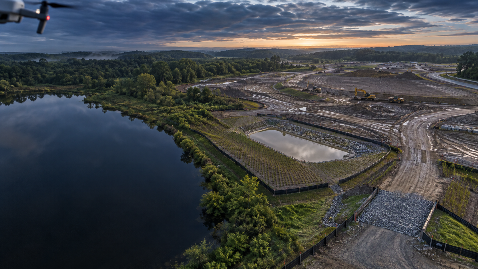
Current and historical imagery frames drainage, grading, sediment controls, access, and surrounding receiving-water context before the site walk begins.
See the site. Support the record.
Aerial context, field observations, and geospatial evidence come together in a clear, permit-aware SWPPP documentation package—built to make inspection findings actionable and records easier to defend.
A better view of site conditions
This approach is designed for owners, contractors, and environmental teams who need more than a generic checklist: a usable record of what was seen, where it was observed, and what should happen next.
Current and historical imagery frames drainage, grading, sediment controls, access, and surrounding receiving-water context before the site walk begins.
Photos, notes, control locations, and observable conditions are organized against plans and site geography—not scattered across a camera roll.
Concise narratives, annotated imagery, and corrective-action records are assembled for your applicable permit, program, and review process.
From flight plan to field note
We use modern capture and mapping tools to reduce blind spots, then keep a human, site-specific review at the center of the reporting process.
Review available plans, permit context, previous records, and imagery to focus the field effort.
Combine field observations with aerial and GIS layers to link each finding to its location and upstream/downstream conditions.
Deliver an organized report that distinguishes observations, recommended follow-up, and items requiring authorized review or signoff.
Defensible by design
The goal is not more imagery. It is a legible chain from site condition to mapped observation to report entry, so the next person on site knows what happened and where to look.
Remote sensing and automated analysis support site review; they do not substitute for required inspections, qualified professional judgment, regulatory review, or authorized certification.
Start with the site
Tell us a little about the project and we’ll shape a field-and-geospatial documentation workflow around its controls, inspection cadence, and handoff needs.